Walk 3348 - printer friendly version
River Yare & Claxton from Rockland Staithe Walk
Author - Lou Johnson
Length - 5.2 miles / 8.5 km
Ascent - 150 feet / 45 metres
Grade - easy
Start - OS grid reference TG327046
Lat 52.5893550 + Long 1.4339245
Postcode NR14 7HP (approx. location only)
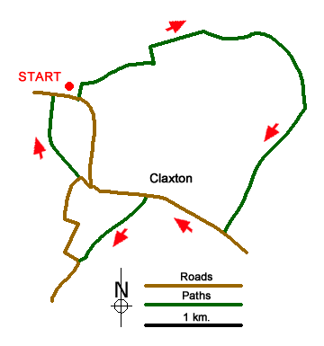
The Norfolk Broads with its watery landscape is the main feature of this walk. The route starts from the small car park at Rockland Staithe (grid ref. TG327046) which lies just over 6 miles from the centre of Norwich. After parking, exit the parking area onto the road and turn left. Almost immediately turn left onto the Wherryman's Way which initially heads north past moorings (on your left) and then continues along the southern shore of Rockland Broad. The onward path follows Short Dike to reach the River Yare (grid ref. TG340052).
Turn right along the River Yare (with the river to your left) and continue along the riverbank for just under a mile. Just before the Beauchamp Arms, turn right onto a bridleway at grid ref. TG349044 and follow this into Mill Lane. Reaching the main road through Claxton (The Street) turn right and walk through the village. After 800 metres turn left into Home Piece Lane (grid ref. TG334036) and continue roughly south to Staine's Barn (grid ref. TG328031).
Turn right along Church Lane and follow this rural byway towards Claxton's Corner. Just before Claxton's Corner at grid ref. TG329038, turn left onto the signed footpath. This leads across fields to a road (grid ref. TG326046). Turn right along this road and the car park where you started is a short way along on the left.
Messaging & Social Media
Message Walking Britain and follow the latest news.

Mountain Weather
Stay safe on the mountains with detailed weather forecasts - for iOS devices or for Android devices.