Moel y Parc seen during the descent from Penycloddiau Fort
Walk Photo 188503
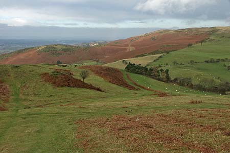
Caption - Moel y Parc seen during the descent from Penycloddiau Fort.
Walk 1885 : Moel Arthur and Penycloddiau
Photographer : Lou Johnson
Use back button to return to the photo gallery lists.
Further Information
Location Map
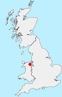
Clwydian Hills
The Clwydian Hills stretch for about 20 miles, rising between the Vale of Clwyd to the west and the Dee Estuary to the east. This line of undulating hills have steep slopes to their west providing excellent views as far as Snowdonia. In contrast to the moorland character of the summits the surrounding valleys are lush and green. More Information
Messaging & Social Media
Message Walking Britain and follow the latest news.

Mountain Weather
Stay safe on the mountains with detailed weather forecasts - for iOS devices or for Android devices.