The Roebuck, Smith Street, Warwick
Walk Photo 368701
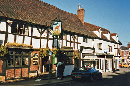
Caption - This image shows The Roebuck and its sign still looking much as they had in the late 1960s when the landlord, Franek Biesok (a Polish airman who had settled in Warwick after the war), served the most wonderful sandwiches and I spent too much of my Ł340-a-year student grant on them and draught bitter - both cost half a crown.
Walk 3687 : Circular Waterside Walk around Warwick
Photographer : John Sutton
Use back button to return to the photo gallery lists.
Further Information
Location Map
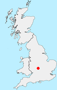
Warwickshire
The county of Warwickshire is in the English Midlands. The north and centre of the county are the areas with the highest population density. The north offers undulating countryside in contrast to the largely rural and sparsely populated south, which contains a small section of the Cotswolds. The highest point in the county, at 261 m (856 ft), is Ebrington Hill, on the border with Gloucestershire. The featured walks include sections of the Millennium Way and Heart of England Way.
Messaging & Social Media
Message Walking Britain and follow the latest news.

Mountain Weather
Stay safe on the mountains with detailed weather forecasts - for iOS devices or for Android devices.