Wilsford Down, Wiltshire
Walk Photo 372701
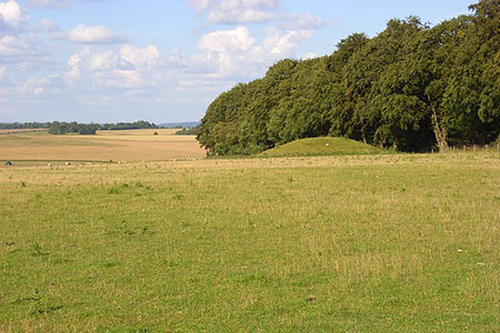
Caption - One of a multitude of tumuli in the vicinity of Wilsford Down, Wiltshire
Walk 3727 : Normanton Down & Stonehenge from Great Durnford
Photographer : Andrew Smith
Use back button to return to the photo gallery lists.
Further Information
Location Map
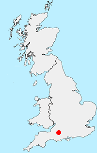
Wiltshire
Wiltshire is a rural county characterised by its high chalk downland and wide valleys. Salisbury Plain is noted for being the location of the Stonehenge and Avebury stone circles and other ancient landmarks, and as a training area for the British Army. The highest point in the county is the Tan Hill-Milk Hill ridge in the Pewsey Vale, just to the north of Salisbury Plain, at 295 m (968 ft) above sea level. The Marlborough Downs are part of the North Wessex Downs National Landscape (formerly AONB). In the southeast of the county there is a small section of the New Forest.
Messaging & Social Media
Message Walking Britain and follow the latest news.

Mountain Weather
Stay safe on the mountains with detailed weather forecasts - for iOS devices or for Android devices.