Hambleton Peninsula circular
Rutland Walk
County/Area - Rutland
Author - Lou Johnson
Length - 4.9 miles / 8 km Ascent - 300 feet / 91 metres
Time - 2 hours 50 minutes Grade - easy
Walk Route Description
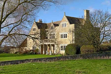
Click image to see photo description.
The Reservoir of Rutland Water was officially inaugurated in 1976. Until construction began Upper Hambleton stood on high ground surrounded by countryside. As the reservoir was gradually flooded the area around the village soon became a peninsula with a narrow strip of land connecting it to the "mainland". This walk uses concessionary footpaths around the peninsula following a clockwise direction along the shores of Rutland Water.
The start of the walk is the centre of the village (grid ref. SK900075). There is limited on-street parking but do be considerate and make sure you do not block residents' access. Note that on busy days parking will be at a premium. After parking follow the road towards Oakham that you used to reach Upper Hambleton. After approximately 250 metres take the signed multi-use path on the right (grid ref. SK899078). This leads a convoluted but well-signed route around the peninsula roughly following the north shore with views across Rutland Water. The track eventually reaches a road (grid ref. SK920067).
Turn right along the road for 200 metres and take the continuation of the multi-user track on your left. The route now proceeds along the southern shore of the peninsula to pass through Hambleton Wood. Soon after leaving the woodland you pass a footpath on your right. Ignore this path and continue past Limes Farm following the tarmac lane along the shore. Do not follow the lane into Upper Hambleton, instead bear left onto the continuing multi-user path along the shore for 400 metres and take the next signed footpath on your right (grid ref. SK895075). Follow this gently rising path into the village passing through the churchyard back to the start.
Maps 

| Ordnance Survey Explorer 234 | Sheet Map | 1:25k | BUY |
| Anquet OS Explorer 234 | Digital Map | 1:25k | BUY |
| Ordnance Survey Digital Map Subscription | |||
| Latest Ordnance Survey Discounts | |||
Other walks nearby
| Walk 2198 | Empingham & Exton | easy/mod | 9.0 miles |
| Walk 2447 | Braunston-in-Rutland Circular | easy | 5.3 miles |
| Walk 3628 | Morcott & Harringworth Circular | easy/mod | 7.2 miles |
| Walk 2913 | Stockerston, Great Easton & Gretton from Lyddington | moderate | 15.0 miles |
| Walk 2927 | Hallaton, Glooston & Rolleston from Tugby | moderate | 12.5 miles |
| Walk 2831 | Cranoe, Medbourne & Blaston from Hallaton | moderate | 11.5 miles |
| Walk 1443 | Burrough Hill & Somerby from Twyford | moderate | 11.0 miles |
| Walk 1708 | Lowesby and South Croxton | easy/mod | 7.0 miles |
| Walk 3284 | Bowthorpe Oak from Witham on the Hill | easy/mod | 8.0 miles |
| Walk 3425 | Rolleston from Billesdon | easy | 5.3 miles |
