Colston Bassett & Cropwell Bishop from Kinoulton
Nottinghamshire Walk
County/Area - Nottinghamshire
Author - Lou Johnson
Length - 8.5 miles / 13.8 km Ascent - 200 feet / 61 metres
Time - 4 hours 30 minutes Grade - easy/mod
Walk Route Description
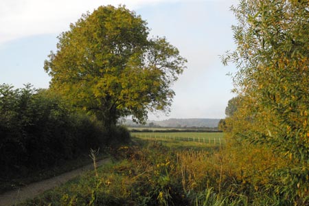
Click image to visit gallery of 12 images.
This circular walk explores the Nottinghamshire countryside visiting three villages en route. The walk also includes a section of the partly derelict Grantham Canal. The route includes some walking along roads but this does not detract from the walk's enjoyment.
The start is a small car park (grid ref SK678324) located on the east side of the minor road from Kinoulton to Cropwell Bishop. After parking walk south along this road over the Grantham Canal and descend the to towpath. Walk south west with the canal on your right. This section of the canal has water and is under restoration. The canal turns left at the Devil's Elbow towards Kinoulton. On your right is Vimy Ridge Farm with its avenue of Lombardy trees which were originally planted in commemoration of the death of the owner's son during World War One. The original planting was replaced as part of the Millennium celebrations.
Reaching the next bridge (grid ref. SK675306) leave the canal towpath and walk east through the village of Kinoulton. Reaching the road junction at the heart of the village continue straight ahead on the lane leading to Hall Farm (grid ref. SK684314) where a bridleway leads across fields in a north easterly direction to join an enclosed track that leads to the attractive village of Colston Bassett where refreshments are available.
Continue straight ahead passing the church on your right. At grid ref. SK700334 take the footpath on the left. This path leads past the remains of St Mary's Church to reach a lane. Go straight across the lane and continue on the bridleway past Home Farm on your right. This leads into Pasture Lane, a track that leads to a road on the east side of Cropwell Bishop (grid ref. SK687354). Turn right and walk through the village to a road junction (grid ref. SK679355).
Turn left here following a road heading south. After about 500 yards you are able to join the towpath alongside the Grantham Canal. This section of the canal was, at the time of writing, overgrown and dry. However there was evidence that work was in hand to restore the canal. Continue along the canal roughly south to return to the start point.
Maps 

| Ordnance Survey Explorer 260 | Sheet Map | 1:25k | BUY |
| Anquet OS Explorer 260 | Digital Map | 1:25k | BUY |
| Ordnance Survey Digital Map Subscription | |||
| Latest Ordnance Survey Discounts | |||
Other walks nearby
| Walk 1133 | Gunthorpe & Caythorpe from Hoveringham | easy/mod | 7.0 miles |
| Walk 2463 | Hoby & Gaddesby Circular | easy/mod | 8.6 miles |
| Walk 1465 | Sileby, Barrow on Soar and Walton from Seagrave | easy/mod | 12.5 miles |
| Walk 3312 | Woolsthorpe and Stenwith | easy | 3.7 miles |
| Walk 1537 | Frisby on the Wreake & Brooksby from Rearsby | moderate | 12.3 miles |
| Walk 3586 | Rolleston & Morton from Fiskerton | easy | 6.3 miles |
| Walk 2941 | Out Wood & Beacon Hill from Loughborough | easy/mod | 6.8 miles |
| Walk 1443 | Burrough Hill & Somerby from Twyford | moderate | 11.0 miles |
| Walk 1540 | Nanpantan Reservoir, Wood Brook and Buck Hill | easy | 2.5 miles |
| Walk 1513 | Newstead Abbey from Linby | easy | 5.8 miles |
