Tregaron & Twm Town circular
Cambrian Mountains Walk
Region - Cambrian Mountains
County/Area - Ceredigion
Author - Dafydd Wyn Morgan
Length - 3.5 miles / 5.7 km Ascent - 470 feet / 142 metres
Time - 2 hours 10 minutes Grade - easy
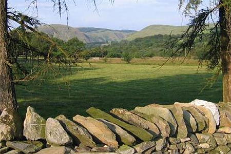
Walk Route Description
Click image to see photo description.
1 - From the Talbot (behind you), walk over towards the bridge. Turn left, immediately before crossing (by garage), to go through a gate into the churchyard. Bear right to walk along a tarmac path and keep straight ahead between houses until the road widens and you can see a steep, narrow tarmac path leading uphill on your left. Take this to the top and turn right onto the road, then swing left onto the new drive, opposite the Fire Station
2 - Continue to a cattle grid and then bear left, over a stile. Keep the field edge to your left for a few paces and then bear right to drop into a dip and then climb steeply to a stile in the fence above - note that there are two stiles quite close together and you need the left hand, higher one.
3 -Walk up the field for 50m to another stile on your right. Cross this and bear half left to climb to another stile. Cross this and continue in the same direction to contour around with the hilltop to your left before dropping to a stile in a boggy corner, close to a pile of stones. Bear half right to cross the next narrow field to another stile and cross this then turn right onto a concrete drive.
4 - Follow this to a gate and shortly after this, bear left to walk, parallel to the edge of the field, up to a gate in the top corner. Go through and cross the farm drive to walk up a grassy ramp to another gate. Now follow the sunken track to a gate and go through to continue to a fork, where you keep right. Follow this until it eventually merges with a drive, where you turn right to follow the drive to a road. Turn left and follow the road easily down and then turn left to return to Tregaron passing a house named Porth y Ffynnon built close to where Twn Siôn Cati, a local 16th Century outlaw, was born.
Maps 

| Ordnance Survey Explorer 199 | Sheet Map | 1:25k | BUY |
| Anquet OS Explorer 199 | Digital Map | 1:25k | BUY |
| Ordnance Survey Digital Map Subscription | |||
| Latest Ordnance Survey Discounts | |||
Other walks nearby
| Walk 1362 | Tregaron & Cors Caron circular | easy | 4.0 miles |
| Walk 1363 | The Elephant Walk from Tregaron | easy/mod | 5.5 miles |
| Walk 1366 | Pentre Bach circular | easy/mod | 9.5 miles |
| Walk 1365 | Strata Florida to Tregaron | moderate | 9.5 miles |
| Walk 2736 | Teifi Pools from near Strata Florida | easy/mod | 6.2 miles |
| Walk 3086 | Pen y Garn from near Devil's Bridge | easy/mod | 6.8 miles |
| Walk 3674 | Claerwen Valley & Dam from Dolymynach Reservoir | moderate | 7.4 miles |
| Walk 2498 | Gorllwyn circuit, Elan Valley | easy/mod | 6.8 miles |
| Walk 1767 | Allt Wen & Wales Coast Path from Trefechan | easy/mod | 6.0 miles |
| Walk 3297 | Crugyn Ci, Esgair Perfedd & Penygarreg - Elan Valley | moderate | 7.5 miles |
Recommended Books & eBooks
The Wales Coast Path
 A single guidebook to walking the whole Wales Coast Path - 1400km (870 miles) the length of Wales from Chester to Chepstow, including Anglesey, described in 57 stages. The route passes through the Snowdonia and Pembrokeshire National Parks and many AONBs and can be linked with the Offa's Dyke Path for a complete circuit of Wales.
More information
