Pocklington Canal from Allerthorpe Wood
East Yorkshire Walk
County/Area - East Yorkshire
Author - Andy Chaplin
Length - 11.0 miles / 17.9 km Ascent - 100 feet / 30 metres
Time - 5 hours 40 minutes Grade - moderate
Walk Route Description
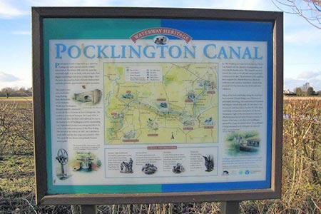
Click image to visit gallery of 3 images.
This is a relatively easy 11-mile stroll through a flat part of East Yorkshire. The only difficulty may arise when some of the countryside north of the canal becomes waterlogged. Overall, there is a pleasant combination of woodland, cross country and canal walking.
The start is the Forestry Commission car park at the Allerthorpe Wood car park (grid ref. SE752473) on Common Lane. It can get busy as it seems to be a popular place for dog walkers. Cross the road and take the path eastwards through the southern edge of Peg Wood. After a mile and a half, it comes out of the wood, picks up a track across fields and then becomes a road as it enters Allerthorpe.
Continue eastwards on Back Lane which becomes the main road out of Allerthorpe. At York Road, there is a new roundabout and a new road leading to Hodsow road. The good news is that the new section of road has pavements and cycle track - the bad news is that as you go right around the new services and the amount of Costa and Subway rubbish that has been thrown from cars is quite depressing.
Keep heading up Hodsow Road until you reach Canal Road. Turn right and follow it down to the York Road again. Thus, ends the boring road walking. Cross over the road and on your left is the entrance to the Pocklington canal head. There is a short section of canal, some of the old canal buildings, information boards about the canal and a plaque about crashed WW2 planes.
The canal path passes several locks under restoration and officially swaps from the west to the east bank at Oak Bridge Farm - although a path does continue on the other side too. Assuming that you take the eastern side then you will detour slightly down the Beilby branch before continuing on what is part of the Wilberforce Way. The path crosses a swing bridge then continues on the north bank past the Melbourne branch to Melbourne Ings.
Turn off northwards on the footpath away from the footbridge over the canal that crosses fields and The Beck and the Black Drain (some indication that it could get boggy around here) and continue northwards across Field lane to Thornton Grange. The paths here are largely farm tracks and shortly after Thornton Grange the path turns right towards Common Lane from where it is a short walk back up the road to the car park.
Maps 

| Ordnance Survey Explorer 294 | Sheet Map | 1:25k | BUY |
| Anquet OS Explorer 294 | Digital Map | 1:25k | BUY |
| Ordnance Survey Digital Map Subscription | |||
| Latest Ordnance Survey Discounts | |||
Other walks nearby
| Walk 1760 | Pocklington Canal, Melbourne & East Cottingwith | easy/mod | 11.0 miles |
| Walk 3127 | Bishop Wilton & Millington | moderate | 13.4 miles |
| Walk 1842 | Buttercrambe & Youlthorpe from Stamford Bridge | moderate | 11.8 miles |
| Walk 2655 | Wayram To Fridaythorpe Circular | easy/mod | 7.5 miles |
| Walk 2906 | Circular from Wayrham Through Painsthorpe | moderate | 8.5 miles |
| Walk 3349 | Pasture Dale, Frendal Dale and Horsedale from Huggate | easy/mod | 9.1 miles |
| Walk 1779 | Horse Dale, Holm Dale, Tun Dale and Frendal Dale from Huggate | easy/mod | 9.0 miles |
| Walk 2703 | Thixendale & Kirby Underdale | easy/mod | 8.5 miles |
| Walk 1757 | River Ouse & Moor Monkton FROM Nether Poppleton | moderate | 10.0 miles |
| Walk 3126 | Kirkham Priory & Pretty Wood from Low Hutton | moderate | 11.0 miles |
