Ashby Gorse from Moreton Pinkney
Northamptonshire Walk
County/Area - Northamptonshire
Author - Lou Johnson
Length - 5.7 miles / 9.3 km Ascent - 250 feet / 76 metres
Time - 3 hours 10 minutes Grade - easy
Walk Route Description
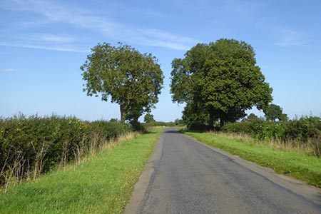
Click image to see photo description.
This Northamptonshire walk starts from Moreton Pinkney and explores the rolling countryside to the north of the village. The buildings in this area are built from Ironstone with the rich colour adding an extra dimension to the scene. The route passes close to Canons Ashby which is a National Trust property well-known for its medieval fishponds.
The start is Upper Green (grid ref. SP576493) towards the north end of Moreton Pinkney where limited on street parking is available. After parking walk north past an attractive thatched cottage on the right. Bear right into Plumpton Lane passing a house with interesting brickwork on your left. Pass between houses and continue on the clear track for about a kilometre to reach a less-defined cross track (grid ref. SP584497).
Turn left (north) through a gate and with the hedge on your left continue along the grassy track for 400 metres to reach a dismantled railway line (grid ref. SP585500). Cross the old railway and continue north for a further 800 metres to a road (grid ref. SP583508). Go straight across and follow the fingerpost marked Byway. Continue along the field edge (hedge to your left). After a kilometre the MacMillan Way comes in from the right. Continue straight ahead here towards woodland (Ward's Copse). Go straight over the farm track at the edge of Ward's Copse and continue north to reach another road in 700 metres (grid ref. SP577525).
Turn left along the road. Continue ahead at the first road junction and after 300 metres turn left onto a signed footpath. This leads south with a hedge on your left. Reaching a T-junction of tracks after 250 metres, turn right heading downhill along a grassy track. Where the track bends right, turn left with a way marker on a tree (grid ref. SP564520). The track, with hedge on the left, continues passing a pond on the left to reach a T-junction with woodland opposite (grid ref. SP568512).
Turn right and after 200 metres turn left following the field boundary on your right. Continue a gap in the hedge (grid ref. SP568508). Leave the track and fork left across the field. The path initially aims for the edge of the wood on your left and then maintains direction aiming roughly for the far-left hand corner of the field. On the way you get a fine view of the parkland and lakes of Canons Ashby on your left. The path heads towards a marker post and joins a road (grid ref. SP573504).
Turn left along the road. A short way along the road, and just past the house on the left, turn right onto a signed footpath via a kissing gate. The path continues through another gate and then heads half left across the field to a fingerpost, small bridge and a gate which gives access to a road (grid ref. SP576500). Turn right, cross the route of the dismantled railway and pass a bungalow on the right. Then turn right through a kissing gate onto a signed path. Continue across the field to another gate and then maintain direction to reach a stile combined with a footbridge. Keep ahead to another stile soon reaching the road through Moreton Pinkney. Turn right along the road back to the start.
Maps 

| Ordnance Survey Explorer 206 | Sheet Map | 1:25k | BUY |
| Anquet OS Explorer 206 | Digital Map | 1:25k | BUY |
| Ordnance Survey Digital Map Subscription | |||
| Latest Ordnance Survey Discounts | |||
Other walks nearby
| Walk 2449 | Canons Ashby Circular | easy | 5.0 miles |
| Walk 3090 | Woodford Halse, Hellidon & Badby circular | moderate | 13.8 miles |
| Walk 1794 | Litchborough & Farthingstone Circular | easy/mod | 6.0 miles |
| Walk 1790 | Byfield, Aston le Walls & Boddington Reservoir | easy/mod | 8.2 miles |
| Walk 1825 | Chipping Warden, Thorpe Mandeville, Culworth Circular | easy/mod | 10.0 miles |
| Walk 3252 | Wardington & Cropredy from Chacombe | easy/mod | 7.7 miles |
| Walk 3701 | Upper Boddington Circular | easy | 5.5 miles |
| Walk 2276 | Oxford Canal & Stoneton | easy/mod | 7.0 miles |
| Walk 1070 | Hellidon & Priors Marston | easy | 5.7 miles |
| Walk 3042 | Thenford Hill & Upper Wardington from Middleton Cheney | easy/mod | 7.5 miles |
